Work Package Leader
Martin Zimmer
ZMT
Work Package Leader
Arnaud Bertrand
IRD
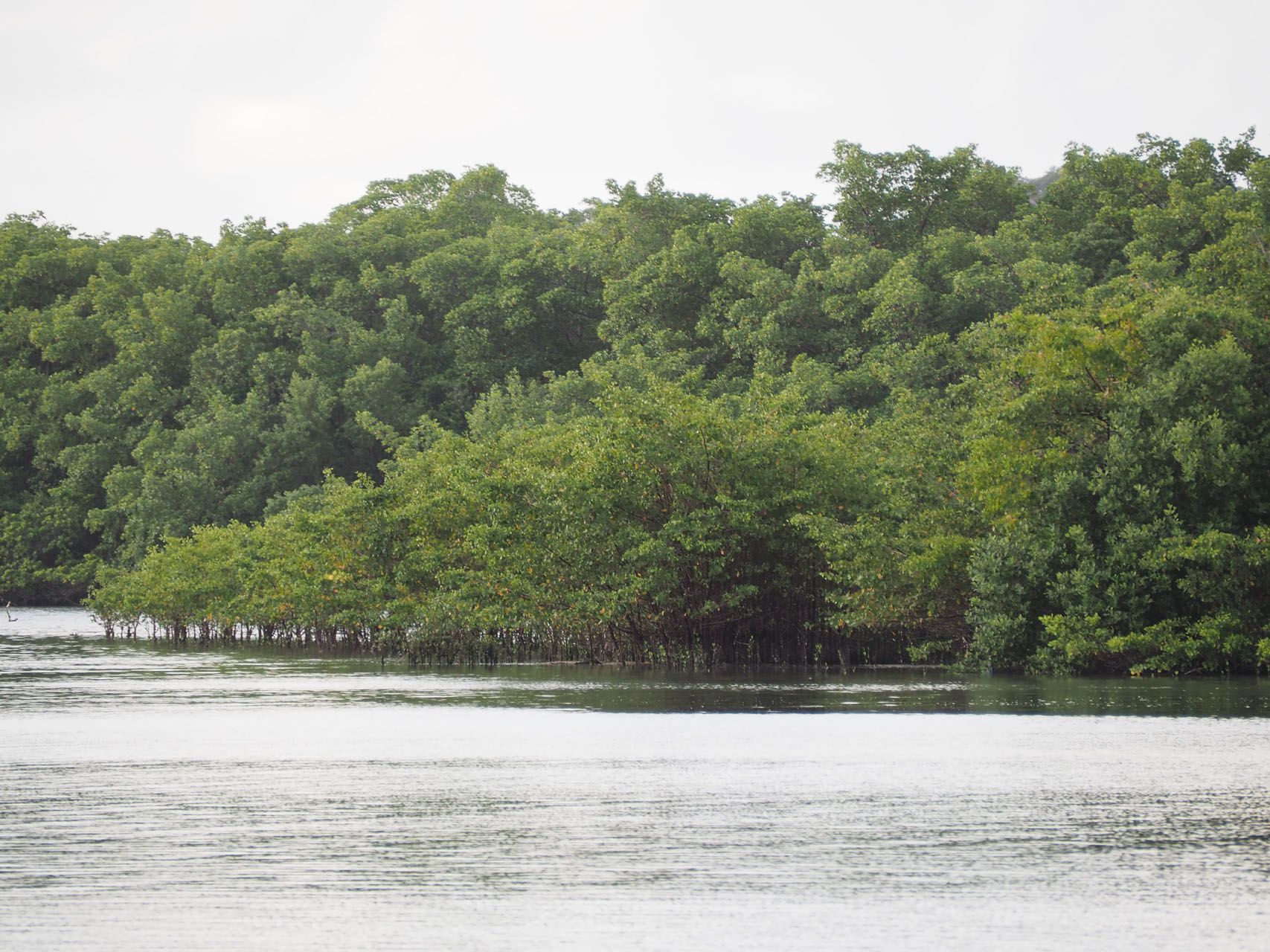
Marine ecosystems consist of a mosaic of interconnected sub-systems. For instance, productivity generated by a local upwelling can influence mangroves separated by ten to hundreds of kilometres. Physics determine the exchanges between these subsystems (e.g. the transport of larvae from the spawning ground to the nursery ground, or current-driven fluxes of nutrients from nutrient-poor to nutrient-rich systems) and complex hydrological and environmental processes influence the life cycle of marine species, governing their spatiotemporal distribution patterns (Bertrand et al., 2014), and shaping both faunal assemblages and the ecosystem processes they drive. The integrity of one sub-system can thus determine that of another one. A human decision made in one place can have a dramatic impact on a distant marine sub-system. Management policies, which today are fragmented, need to take the physical and ecological connectivity between sub-systems into account.
To address this requirement, we will proceed in four steps.
- In Task 2.1, we will summarise current knowledge on tropical ecosystem dynamics to identify the gaps, threats, and the most appropriate indicators of resilience.
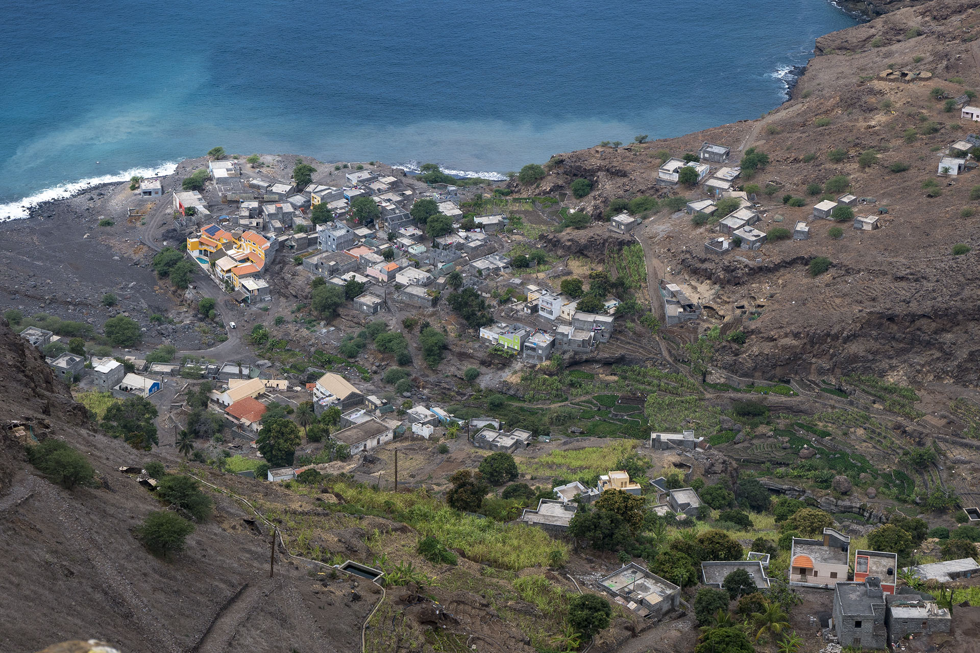
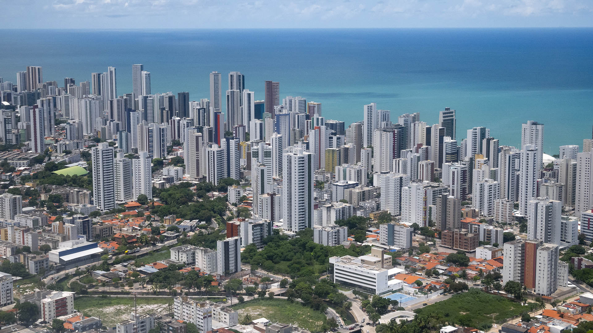
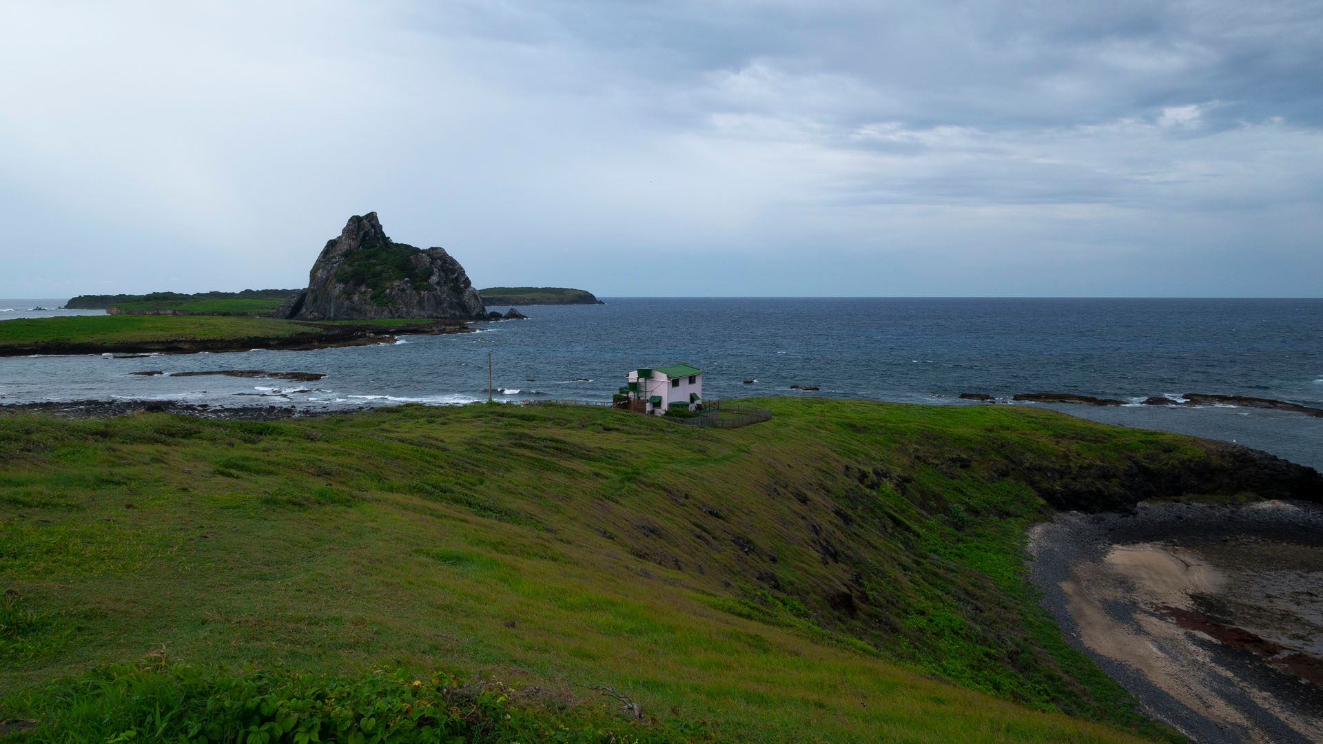
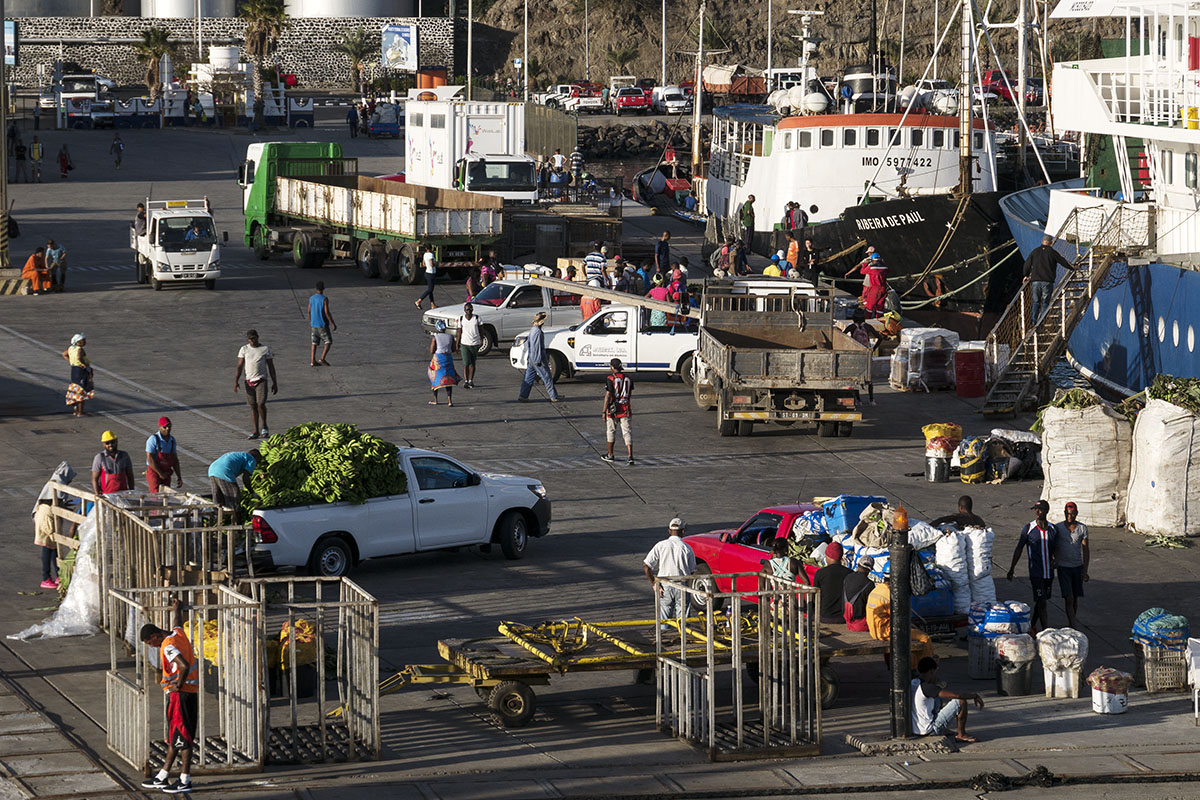
- In Task 2.2, we will identify and collect available knowledge, data and models on key ecosystem dynamics at play in the case study countries (Brazil, Cape Verde and Senegal).
- In Task 2.3, we will assimilate and incorporate the information collected and selected in T2.1 and T2.2 in a mutual georeferenced information system.
- In task 2.4, we will propose ecosystem scenarios in each case study area on the basis of the innovative use of data and models.
Practical information for MSP will consist of: (i) outputs of ocean models which describe current dynamics and predict sea level rise and erosion; (ii) Ichthyop (Lett et al. 2008) Lagrangian model outputs to study the advection of particles and organisms (in particular eggs and larvae); (iii) isotopes and contaminant tracers to account for trophic and pollutant transfers; (iv) spatio-temporal distributions of habitats, communities and biodiversity, resulting in maps based on molecular, satellite and acoustic data; and (v) GPS-tracking of megafauna and fishing boats (Bertrand et al., 2015). All this information will be summarized on cartographic platforms (GIS) and the MSP toolbox (WP5).
Please find a tentative bibliography for this workpackage through this link.
Please find the related data library through this link, last updated on June 17th, 2019.


