Earth, Planet and Environmental Sciences
We offer training in geosciences, coastal and marine environment professions through the research unit of the Ocean Geosciences Laboratory based in Plouzané (IUEM, UBO) and Vannes (UBS), in close collaboration with the IFREMER Marine Geosciences Institute.
The expertise of these two units covers a wide range of topics: from coastal dynamics to the evolution of the Earth’s mantle, including the dynamics of rifts, margins, ridges and sediment, paleo-climatic and paleo-environmental recording. The work is based on a multidisciplinary and multiproxy approach based on instrumental poles: ocean spectrometry pole – instrumental pole in geophysics – pole in sedimentology/micropaleontology/palynology.
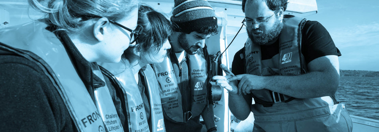
The strong points of this mention are the numerous land and sea sites carried out throughout the training, the intervention of high-level researchers from both institutes, the possibility of research internships, among other possibilities, within IUEM, IFREMER or SHOM.
Learning path
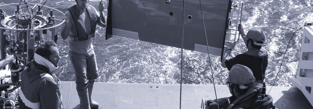
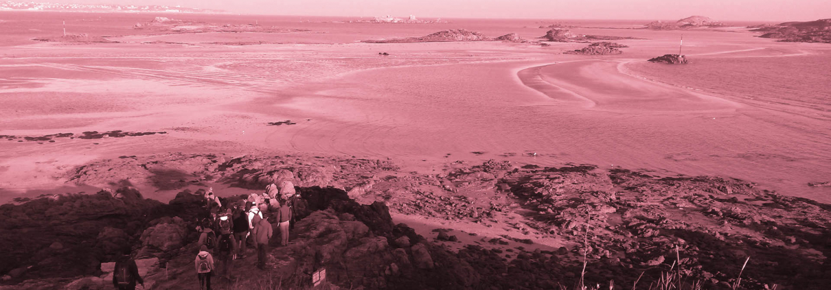
Ocean Geosciences(GO)
The Ocean Geosciences Course is closely linked to the Geo-Ocean laboratory. Graduates of this master’s degree will be able to develop and design research projects, provide expertise and advice within public or private organisations in the fields of geosciences and, in particular, marine geosciences. This master’s degree allows students to pursue a doctorate in the field of marine geosciences, particularly in the following areas: margins, ridges, rifts, mineral resources, sedimentology, palaeoenvironment, palaeoclimates and marine geochemistry.
Download the full presentation of the training and its scientific and local context.
Feedback from the field course in the Alps
Feedback from the field course in England
See the training sheet in the official UBO catalogue
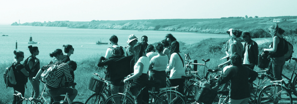
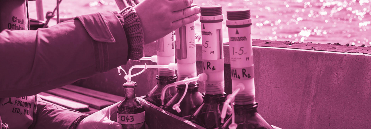
Coastal and Shoreline Resource Management and Engineering (IGRECL)
The IGRECL course is clearly aimed at non-academic professional integration in the management of coastal and shoreline resources with SMEs in the sector, local authorities and large groups whose work affects these environments. At the end of this course, students will have multidisciplinary skills in the management and exploitation of mineral and biological resources, with an understanding of the concepts of risk and vulnerability. These skills will enable them to adapt, anticipate and respond to coastal zone management strategies, taking into account the European legal and socio-economic framework.
Educational software
MOVE (PETROLEUM EXPERTS)
![]()
Since December 2018, UBO’s STU (Earth and Universe Sciences) courses have had free access to PETROLEUM EXPERTS’ MOVE software suite, under an agreement signed between the UBO’s Earth Sciences Department and this company. The commercial equivalent of this donation of the MOVE software suite is £1,308,000.00.
This software is the most complete structural geology analysis and modeling “toolbox” available. It provides a complete digital environment to report in 3 dimensions on geological properties and characteristics by reducing the risks and uncertainties of geological models. It is a platform for the integration and interpretation of geophysical data, section construction, 3D model construction, kinematic restoration and validation, geo-mechanical modeling, fracture modeling, fault role modeling and analysis of the relationships between faults and tectonic constraints.
The Earth Sciences Department and the University of Brest (UBO) sincerely thank PETROLEUM EXPERTS Limited for their donation for the free use of the MOVE software suite. This tool will allow us to train our students in Licence 3 (at the UFR Sciences et Techniques du Bouguen) and in Master 1 and 2 (at the IUEM, Institut Universitaire Européen de la Mer) to use in the classroom this professional software commonly used in design offices, consulting firms and large geoscience companies working on geological reservoirs. For doctoral students, the databases at their disposal (most often bathymetric data and dense seismic reflection profiles) can thus be significantly enhanced according to the objectives of their thesis work.
More informations :
- MOVE software
- PETEX website
- Links to the relevant Geoscience models: Bachelor’s degree, with a specialization in Earth Sciences, Geology | Master’s degree in Earth and Planet Sciences, Environment | Master’s degree in Ocean Geosciences |Master’s degree in Marine Sciences | Master’s degree in Marine Geophysics | Doctoral School of Marine and Coastal Sciences
Kingdom Suite
UBO’s Earth Sciences learning path benefit from the free availability of the Kingdom Suite Software distributed by S&P Global through the University Grant Program, which is updated every year since 2008.
Kingdom Suite software is a worldwide reference for 2D and 3D seismic interpretation and allows the integration of geophysical and geological data offering a wide variety of uses in fundamental and applied research. The software is used in the classroom for Master’s degree courses in Ocean Geosciences and Coastal Resource Engineering and Management. It is also used during sea teaching campaigns and for projects conducted individually by doctoral students at the Ocean Geosciences Laboratory.
The Department of Earth Sciences and the University of Brest (UBO) sincerely thank S&P Global for the accreditation they have received for the free use of the Kingdom Suite software.
QGIS
Free and Open Source Geographic Information System
Matlab
Programming language for technical calculation, paid software, license acquired at the Laboratory.
Octave
Technical calculation programming language, free numerical calculation software comparable to MATLAB.
Q Suite

Les formations en Sciences de la Terre de l’UBO bénéficient depuis 2022 de la mise à disposition gratuite de la « Q-suite » distribué par la société QPS. Cette suite comporte plusieurs logiciels principalement dédiés à la bathymétrie :
-Le logiciel Qinsy. Il est dédié à la préparation des missions ou surveys océanographiques, à l’acquisition hydrographique et traitement en temps réel à bord des navires pour la bathymétrie multifaisceaux, mais aussi l’imagerie sonar latéral, la magnétométrie.
– The Quimera software is dedicated to the processing and interpretation of data following multibeam bathymetry surveys. It makes the processing of hydrographic data didactic and as simple and intuitive as possible. Qimera is currently the most powerful application for all bathymetric processing applications: integrating the latest technologies and design to optimise ease of use. This software is compatible with the main sonar data formats, and has revolutionised data management through the creation of dynamic data flows.
– The Fledermaus software. For 4D geospatial analysis with video integration and film editing. A standard for presentation and communication that integrates into the QPS workflow and allows the integration of multibeam, reflectivity, water column and other GIS data on the same view.
The QPS suite is used in the classroom for Master’s teaching purposes for the Ocean Geosciences and Coastal and Littoral Resources Engineering and Management courses. It is also used during teaching campaigns at sea and for projects carried out individually by doctoral students of the Ocean Geosciences Laboratory. It is also used for hydrographic degree training.
The Department of Earth Sciences and the University of Brest (UBO) would like to express their sincere thanks to the company QPS for allowing them to use the software free of charge.


Contacts
Specilization coordinaor :
Christine AUTHEMAYOU (Send an email)
GO learning path:
M1 : Aurélie PENAUD (Send an email)
M2 : Christine AUTHEMAYOU (Send an email)
IGRECL learning path :
Evelyne GOUBERT (Send an email)