At the beginning of the 21st century, the sea is a major scientific and societal issue. Studying it over the long term, understanding it and predicting its evolution in the face of climate change and local constraints is the IUEM’s mission as one of the 25 national observation institutes supported by CNRS.
IUEM conducts its Observation mission in synergy with its Research and Training missions and considers this as a long-term federating axis of ideas, projects, achievements and expertise.
Based on scientific logic, The Observation mission combines measurements, experiments and modelling with regard to past and future trajectories. The sea and its evolution are approached from all disciplinary fields, including the national instrumented sites of the sciences of the universe (SNI OHASISBIO and REVOSIMA/MAHY), but above all by the national observation services (SNO) on the high seas (SNO-Argo) and coasts (SNO-Somlit/Coast-HF/Dynalit), on the life sciences (SNO-Phytobs/Benthobs) and on human and Social sciences through observation of the socio-ecosystem of the Brest-Iroise Workshop Area (ZABrI).
IUEM carries out its Observation mission by coordinating more than ten monitoring systems which, through regular and long-term measurements, build up physical, chemical, biological, floristic and faunistic databases, available to the scientific community and the public.
In particular, IUEM is in charge of:
- the quality and sustainability of the resources and skills mobilised,
- the optimal coordination of resources,
- the link between stakeholders (actors, services and organisations),
- the alignment of the national compliance strategies of the different schemes.
With several decades of experience, IUEM is a leading contributor to knowledge of the evolution of the sea system, and is a key player in federating, structuring and carrying out observation of the sea at regional, national and international levels.
Today, in order to better respond to societal needs, IUEM is focusing its Observation mission on the Man-Earth-Sea continuum with a multidisciplinary and integrative approach.
Discover our observation series
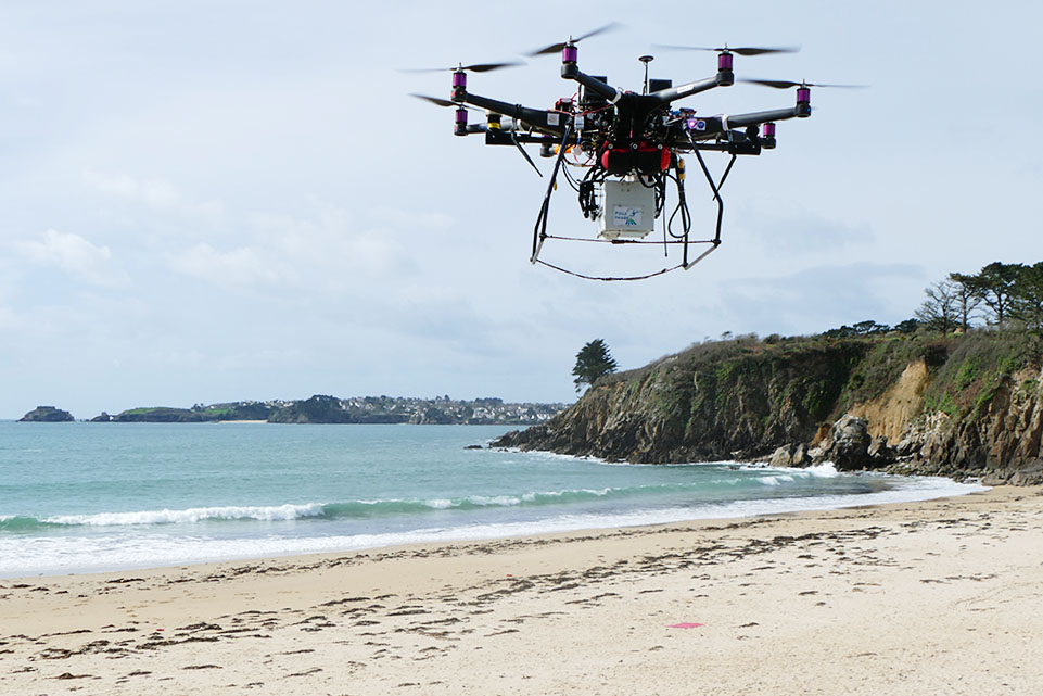
Coastal and littoral observation
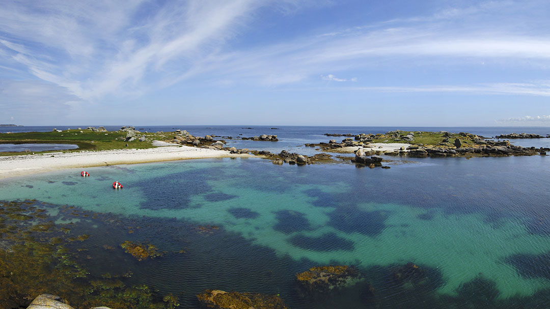
Covering only 8% of the world’s ocean, coastal areas present major challenges, concentrating half of its biological production and hosting more than half of the world’s population. As an essential link between the continent and the ocean, they are transitional areas, exposed to multiple influences, both natural and anthropogenic, and whose strong reactivity needs to be identified in order to better manage their sustainability. Monitoring and understanding the evolution of these environments, in all their dimensions, whether hydrological, biological or geomorphological, is the purpose of the coastal and littoral observation that we carry out.
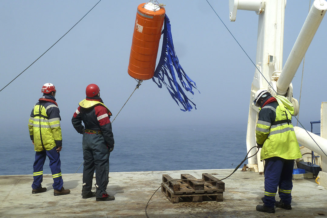
Offshore observation
Covering 70.8% of the world’s surface, the ocean’s vastness constitutes a scientific and technical challenge that requires systems organised on an international scale. IUEM is part of this approach as coordinator of the SNO-ARGO-France system, which aims to monitor the physics of the world’s oceans, and as co-sponsor of the national structuring of deep-sea observation for monitoring seismic hazards (MARMOR and OHASISBIO).
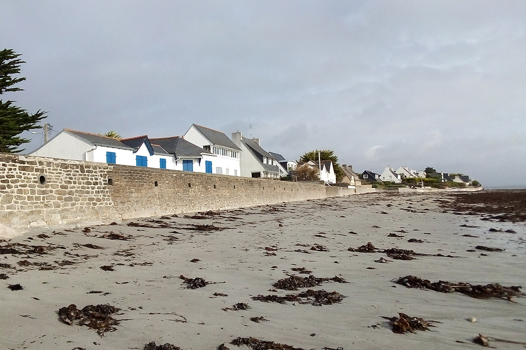
Integrated observation of the vulnerability of territories
Situated at the crossroads of scientific and societal issues, vulnerability monitoring (OSIRISC) is one of the key areas of IUEM’s Observation mission. Primarily aimed at the risks of erosion and submersion, it consists, around “pilot” integrated observation sites, of co-constructing data, knowledge and visualization and management tools with all the scientific, management and public players in order to anticipate and manage the evolution and transition of the territory in the face of climatic hazards.
The Brest-Iroise Workshop Area (ZABrI)
The Brest-Iroise Workshop Area is a scientific project supported by the CNRS Institute of Ecology and Environment (INEE) which focuses on the coastal socio-ecosystem of the Iroise Sea, the Bay of Brest and its catchment areas. The project is coordinated by three IUEM laboratories (LETG-Brest, LEMAR and AMURE) and brings together a group of researchers from different universities and institutes conducting environmental research in the context of integrated management, sustainable development and transformation along the land-sea continuum. It also involves a large number of non-academic partners: protected areas, local authorities, associations, professional groups, watershed managers and scientific outreach stakeholders. The work combines environmental sciences and human and social sciences.
Participatory monitoring
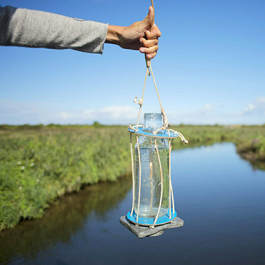
Faced with the need to collect more data to better understand the functioning of marine environments, IUEM has included citizen participation in its observation approach. The objective is twofold: firstly, by increasing the number of operators, it improves the spatial and temporal coverage of phenomena, and secondly, it contributes to transmitting knowledge and raising awareness among civil society in its role as an operator for the preservation of these environments.
Historical series
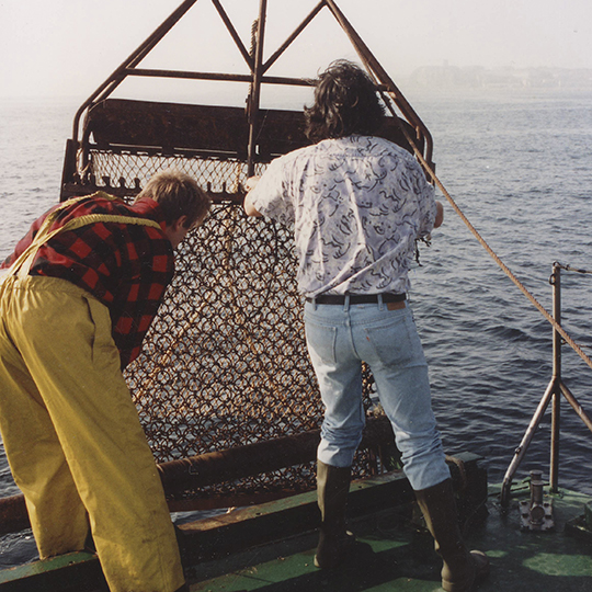
Historical series are elements such as fauna, flora, evolution of the coastal landscape… which are and/or have been monitored over long periods.
Access to data and publications
Assigning DOIs (Digital Identifiers of an Object) to the end products of long-term observation is a major step. DOIs facilitate and ensure long-term access to the information collected and validated by the authors.
Indigeo
The Indigeo data infrastructure allows the georeferenced data produced by the IUEM and ZABrI observation services to be made known, visualised and made available.
Maddog
MADDOG is the coastal line and geomorphology observation data portal of OSIRSIC, the ObServatoire Intégré des RISques Côtiers en Bretagne.
EPOS-France
Thanks to the MARMOR project (PIA3/EQUIPEX program), national fleets of marine geodesy, seabed seismometers and autonomous hydrophones have been integrated into the new SMM marine component of Epos-France.
Epos-France is a research infrastructure (RI) in the solid Earth field, dedicated to observation. It aims to advance our knowledge of the Earth system in all its diversity and complexity. Epos-France is the successor to the French seismological and geodetic network Résif.
