Integrated observation of the vulnerability of territories
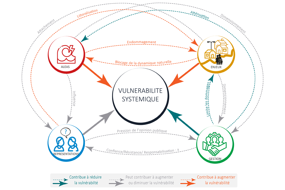
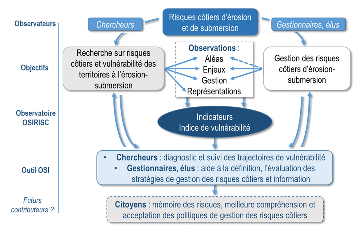
OSIRISC, a project initially funded by the Fondation de France and the DREAL Bretagne (Osirisc+), involves three IUEM laboratories: LETG-Brest, Geo-Ocean and AMURE, as well as a UBO laboratory: LP3C. Now known as ObServatoire Intégré des RISques Côtiers en Bretagne (Integrated Observatory of Coastal Risks in Brittany), OSIRISC integrates the concepts of systemic vulnerability and implements, on a regional scale, the interdisciplinary tools developed for the study and monitoring of coastal risks and the systemic vulnerability of coastal territories to marine erosion and submersion. The four physical and human dimensions of the systemic vulnerability of coastal territories are thus the subject of temporal monitoring:
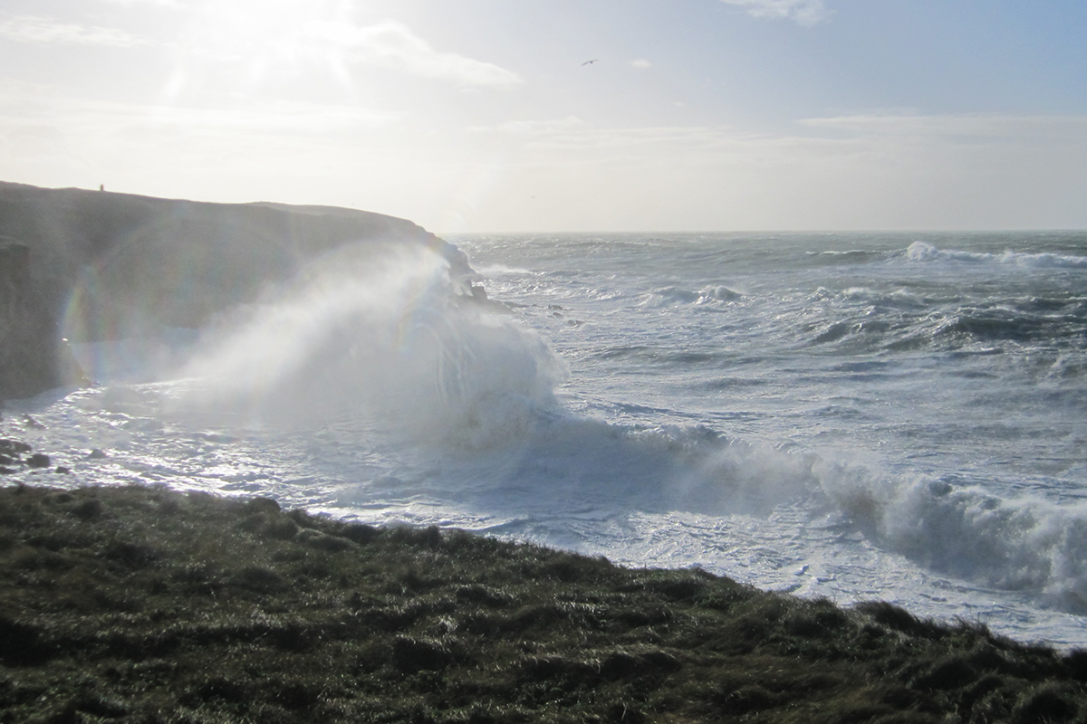
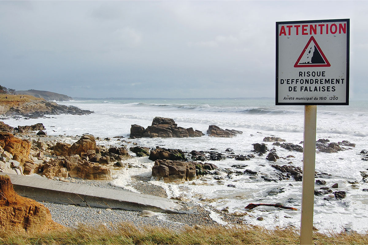
- Coastline erosion and marine submersion hazards (in addition to and in association with the coastal observation series (SNO DYNALIT and Topomorphological series),
- the issues at stake,
- managing these risks,
- social representations (what people think).
Beyond the interest in setting up these long-term observation series for research issues, OSIRISC aims to co-construct and make available to practising coastal risk managers a tool for decision-making, improving practices and long-term risk management strategies. The methodology has been evaluated and consolidated through experimentation with local actors on several regional test sites.
The regional deployment and progressive operationalisation of the OSIRISC observatory led to the emergence of an operational partnership “Litto’Risques. “This partnership will help local authorities in Finistère to manage their coastal risks. At the same time, IUEM is responsible for the membership of the OSIRISC coastal risk observatory to the RNOTC (National Network of Coastline Observatories).
The territories
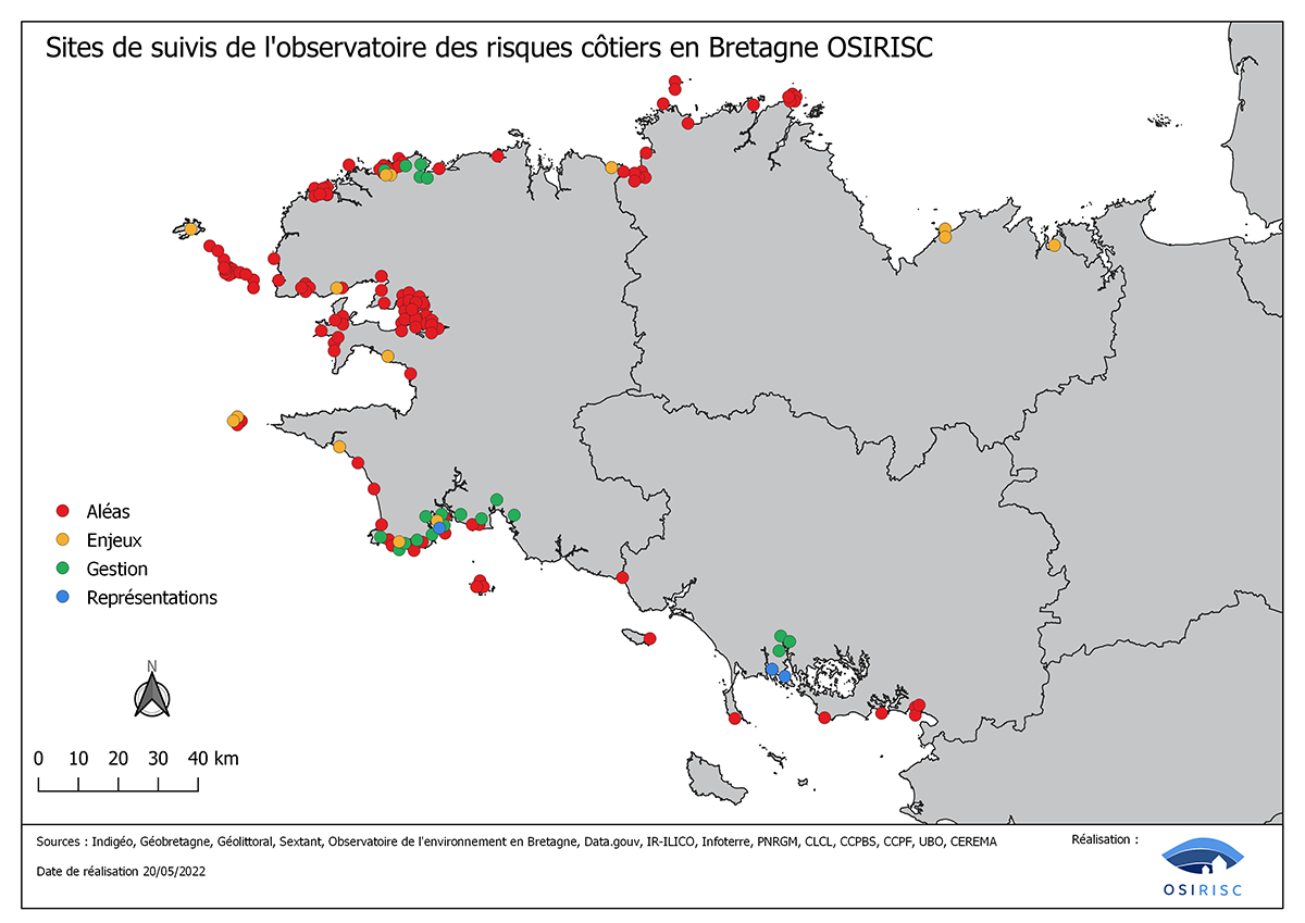
The OSIRISC observatory is currently being deployed throughout Brittany. At present, it mainly concerns the Finistère territories as well as a few local authorities and other coastal risk management stakeholders (Nature Reserves and Regional Parks) in the other departments of Brittany. We work on nested spatial scales, both for the implementation of monitoring and for the development of partnerships with territorial stakeholders for the development of observation capacities. The map opposite shows the main observation sites according to each of the components of vulnerability to marine erosion and submersion.
Monitoring
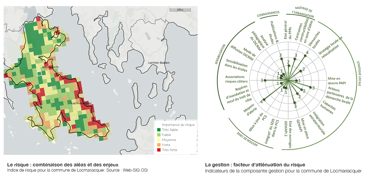
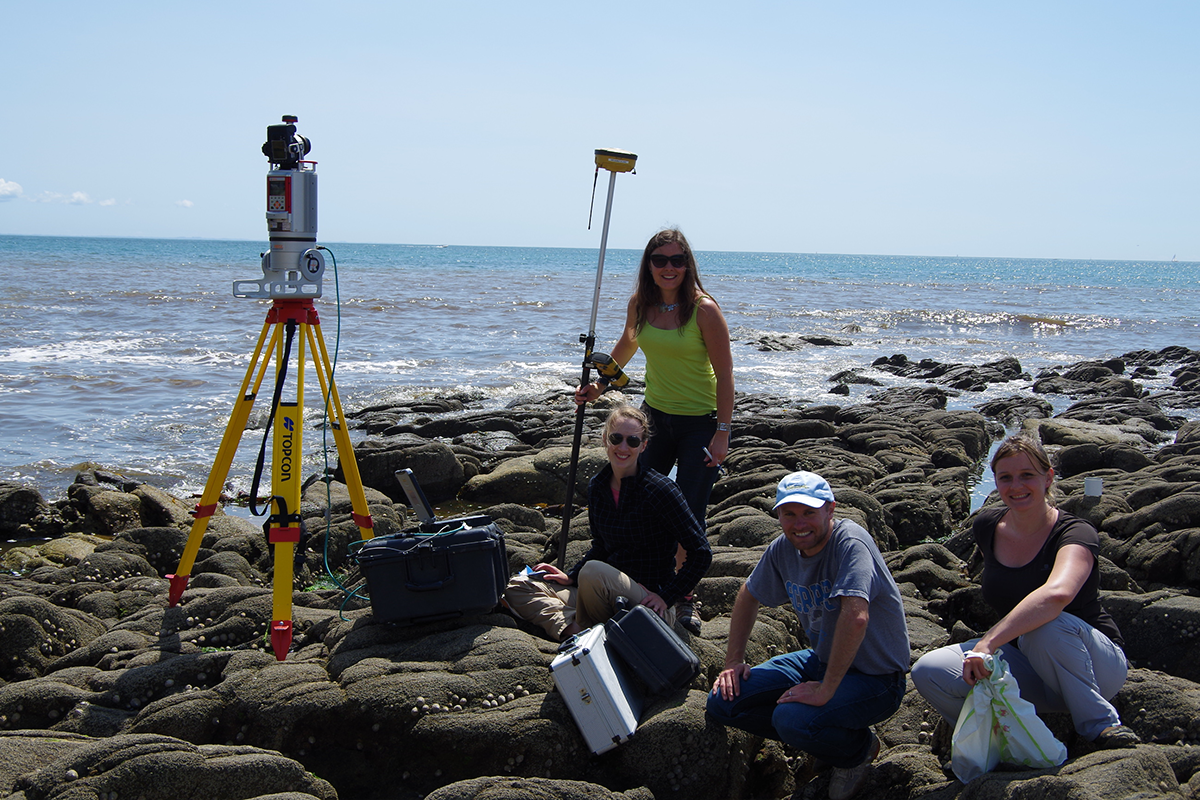
The monitoring concerns the vulnerability trajectories of coastal territories. The four components of vulnerability, hazards (erosion and submersion), exposed issues, management and social representations, are monitored individually. For the monitoring of each component of vulnerability, the general methodology is based on measurements (field monitoring, database exploitation, surveys) of various variables. All are converted into quantitative indicators within their component. Combined, these component indicators produce a component index, then a vulnerability index at a given time. The frequency of measurement varies according to the component: from monthly to annually for hazards, annually for issues and management, and tri-annually for social representations. The methods specific to each component are explained in the OSI WEB-GIS by a protocol sheet describing how each indicator is produced.
OSIRISC
In pictures
Partners
Financing
DREAL BRETAGNE

