Observation series
DYNALIT is an observation network anchored in a national scientific community that aims to collect and make consistent quality data to characterise the physical functioning and morphological evolution of the coastline over the long term. This imperative meets scientific objectives, such as understanding physical processes, including the IPCC’s emblematic question concerning the modification of storm regimes, but also societal objectives, such as coastal management, particularly with regard to erosion risks.
DYNALIT was labelled a National Observation Service (SNO) in 2014 and IUEM is the coordinating OSU (Observatoire des Sciences de l’Univers). In 2022, DYNALIT will comprise 32 workshop sites spread across metropolitan France and the French overseas territories. These sites are distributed over five maritime façades (English Channel – North Sea, French Atlantic coast, Western Atlantic – Caribbean, Mediterranean Sea and Indian Ocean) and cover the three main coastal environments, which are
- sedimentary accumulation coasts (e.g. sandy and shingle beaches, spits),
- rocky and cliffy coasts, and
- estuaries and deltas.
In addition, since 2016, DYNALIT has been integrated with other basic observation networks to form the Coastal Research Infrastructure ILICO to improve knowledge of coastal and littoral ecosystems via a multidisciplinary approach.
Partners
The site
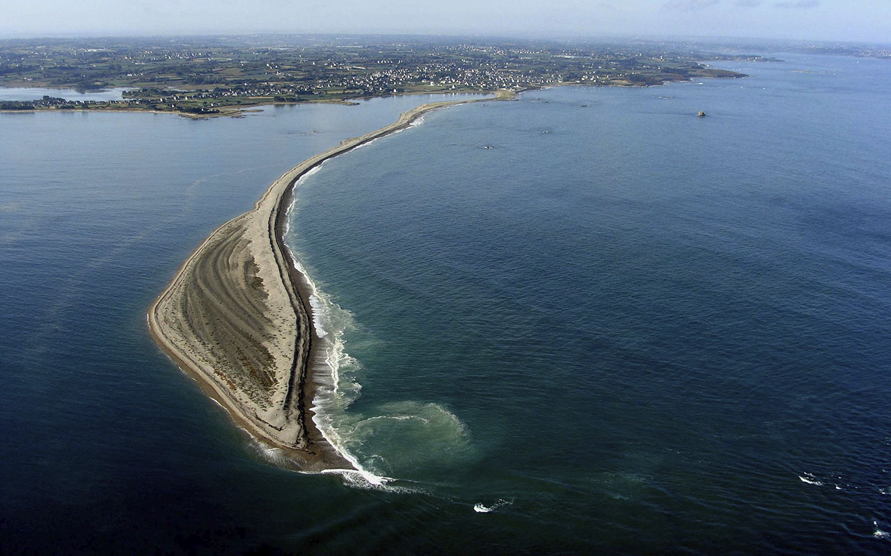
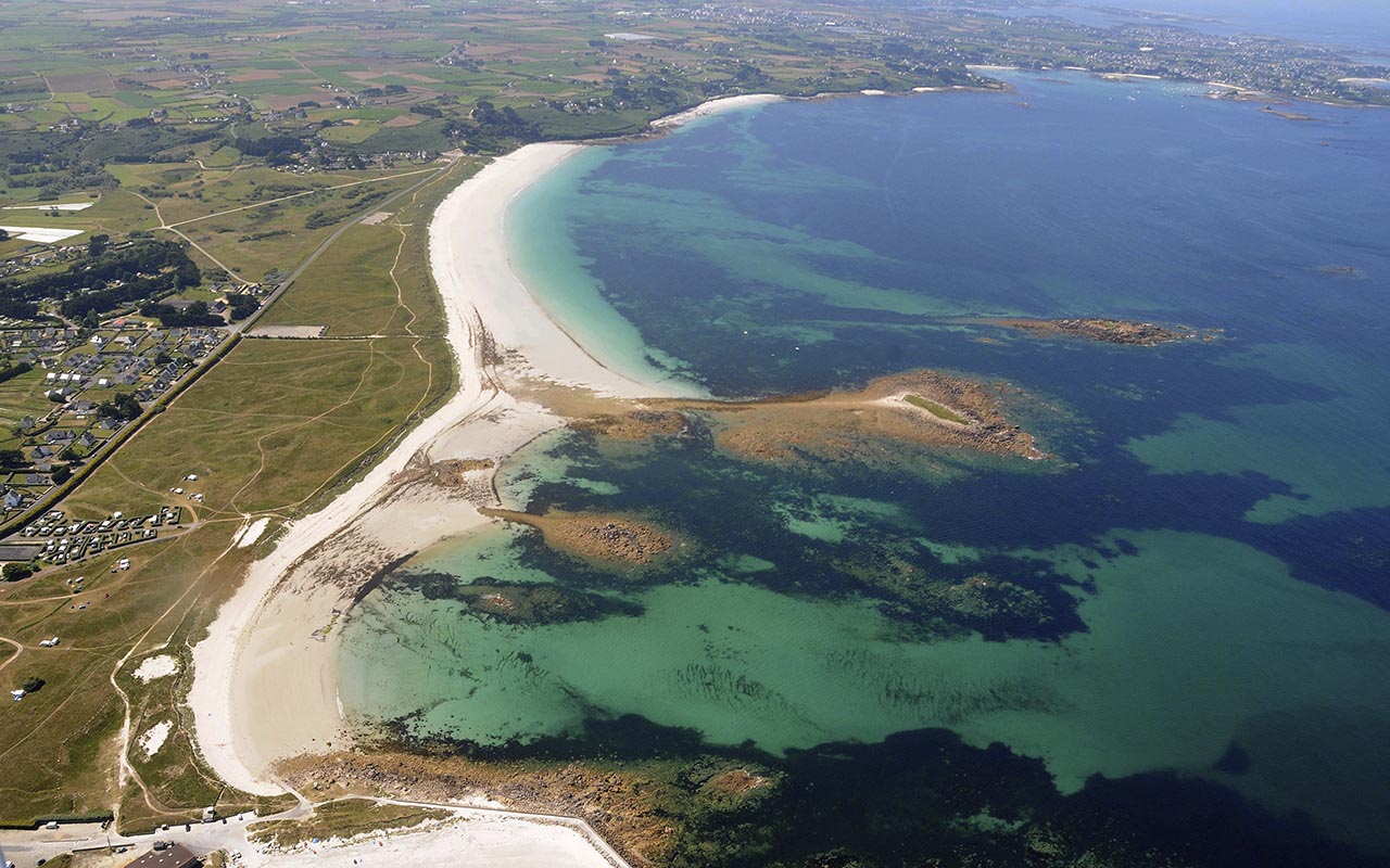
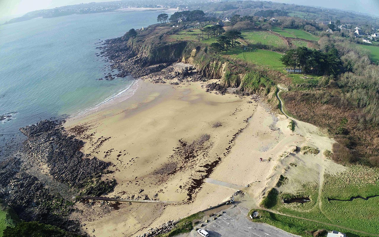
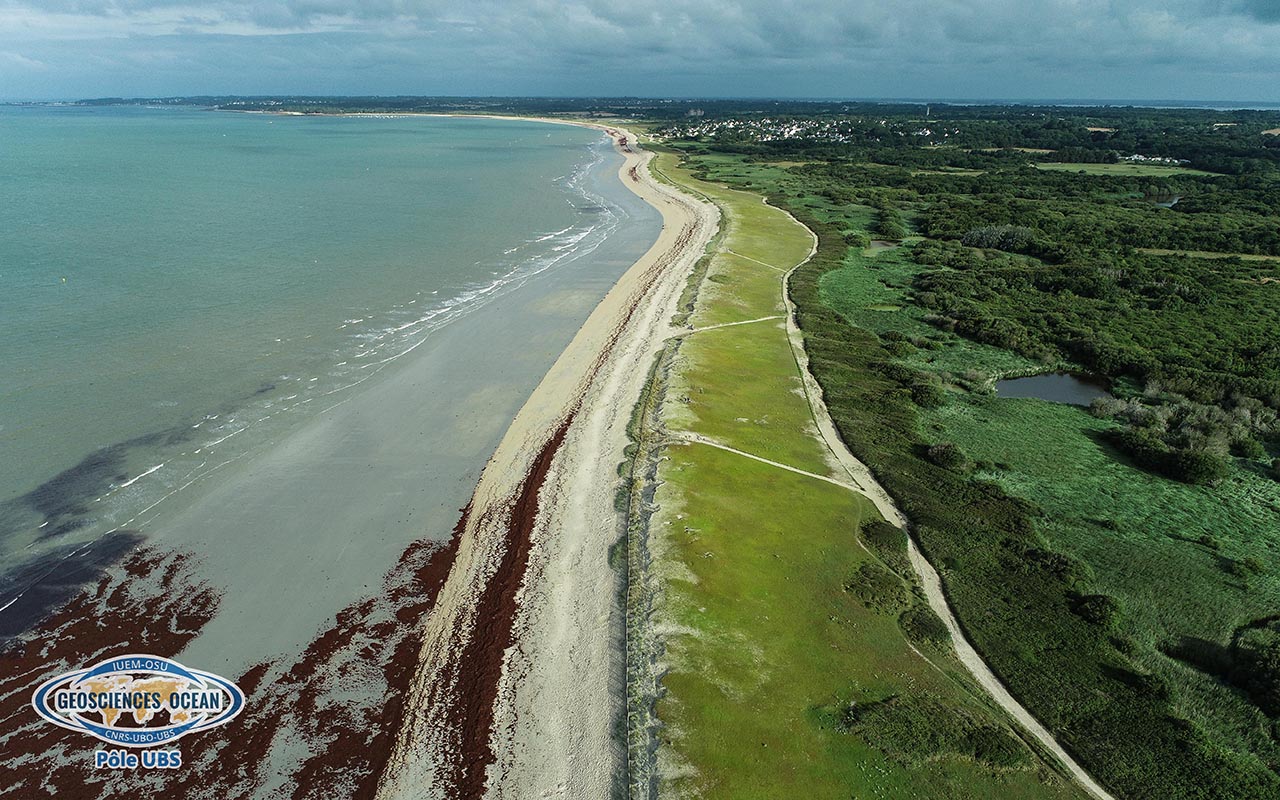
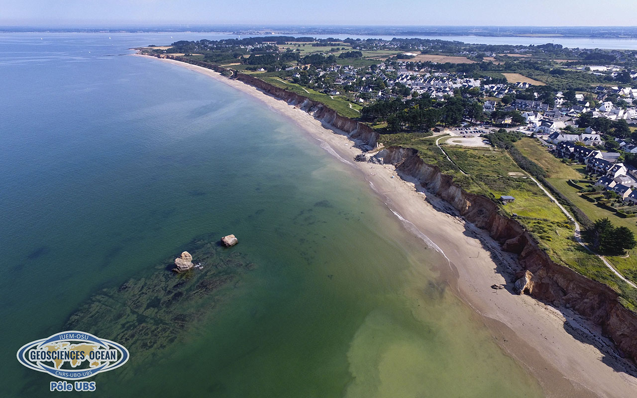
Five sites in Brittany are currently monitored as part of SNO-DYNALIT’s observation activities. These sites are the Sillon de Talbert (Côte d’Armor), the Vougot beach in Guissény (Finistère), the Porsmilin beach (Finistère), as well as the beach and cliffs of Pénestin and the beach of Suscinio (Morbihan)
Monitoring
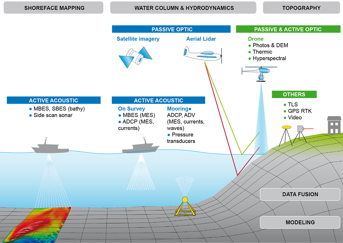
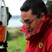
In order to have a reliable representation of the coastline and to capture seasonal and multi-year variability, topographic surveys are carried out. Depending on the site considered, they correspond to beach profiles when the morphology is homogeneous along the coast, and more generally to 3D point clouds called Digital Terrain Models (DTMs). The acquisition frequencies are monthly to semi-annual. Commonly used data acquisition techniques include GNSS-RTK systems (real-time kinematic satellite 3D positioning system), as well as terrestrial and airborne LiDAR (Light Detection and Ranging) and photogrammetry. Some sites also have data from bathymetric surveys of the fore-shore using a multibeam echosounder mounted on a coastal vessel such as the Albert-Lucas.

