Observation series
MARSITE: Geodetic seabed observatory in the Marmara Sea
The in-situ measurement of seabed displacements remains one of the major challenges of the decade. As an experiment, the LGO laboratory has deployed a network of seabed geodetic stations for 3 years (2014-2018) in the Marmara Sea to measure the movements of a submarine segment of the North Anatolian Fault (2 cm/year), which is a source of recurrent destructive earthquakes on land. This underwater segment, located less than 50 km from the megalopolis of Istanbul, has been free of seismicity since 1766 (last known major earthquake). This seismicity gap would indicate either a continuous asismic movement of the fault of ~2 cm/year or a blocking of the fault which, in case of rupture, could cause a major earthquake.
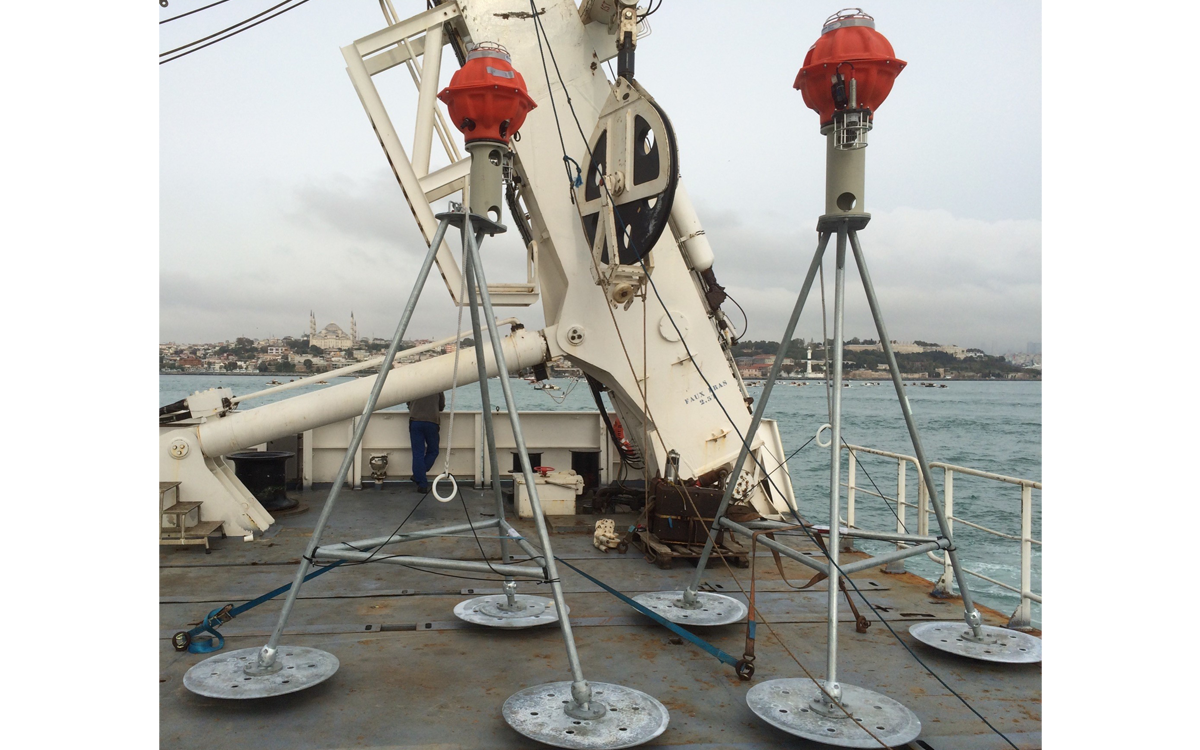
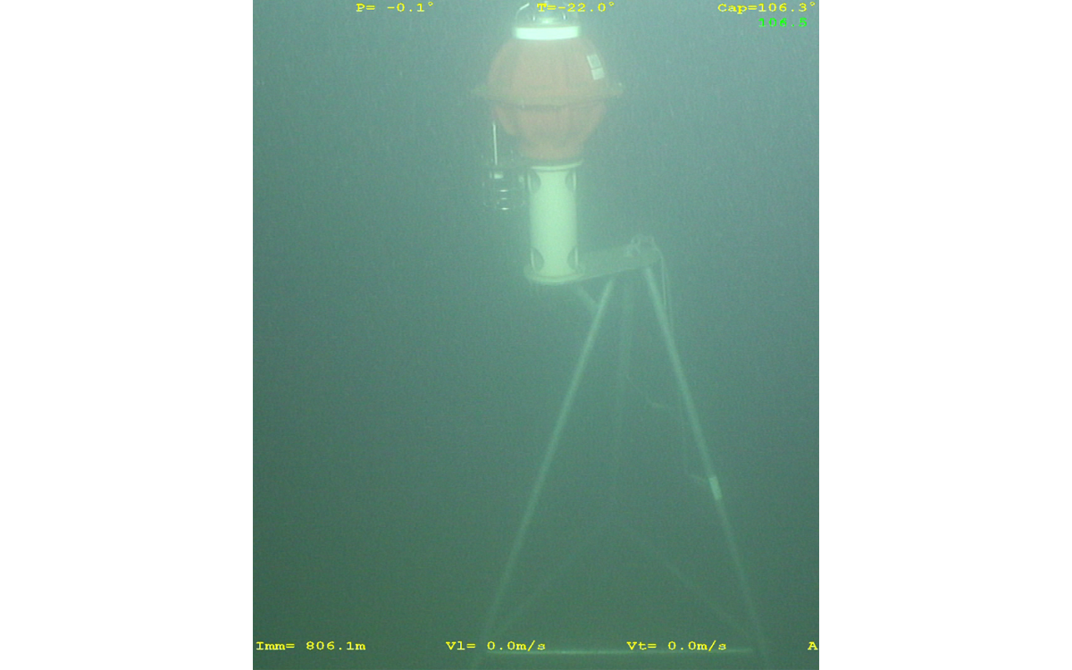
The principle of the experiment consists of measuring the distance between beacons placed on the bottom on either side of the fault several times a day using acoustics. In 3 years of observation, no movement greater than 5 mm/year was detected. In other words, the fault would be blocked and would have accumulated a slip deficit of around 4 m since 1766. The rupture of this fault could then generate an earthquake of magnitude greater than 7.
This first French experiment in operational seabed geodesy was carried out in collaboration with the GEOMAR Institute in Kiel, the ITU in Istanbul, the LIENSs (La Rochelle) and the CEREGE (Aix en Provence). A new experiment is underway at the foot of Mount Etna, off Sicily, as part of the ERC FOCUS project (2020-2024).
The North Anatolian Fault line and the latest recorded ruptures. The Marsite network (black rectangle) is located on a segment of the fault with a seismic gap. The relative Anatolian/Eurasian movement of 2 cm/year is established by spatial geodetic measurements (inoperative in the underwater domain).
(C) J-Y Royer/CNRS
Partners
The fleet of 4 acoustic beacons was acquired with the support of the State-Region “Ocean Observation” project contract (CPER ODO).
The oceanographic missions for the deployment of the network and the network visits were funded by the French Oceanographic Fleet (FOF), Geomar (Kiel) and Istanbul University (ITU).
The operation and maintenance of the network has been supported by INSU/CNRS, FOF, OSU-IUEM, the ANR project MAREGAMI and the LGO laboratory.
The site
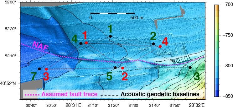
Presumed route (purple dashes) of the North Anatolian Fault (NAF) in the central Marmara Sea. The dots represent the position of the acoustic beacons deployed on either side: red is the GO-IUEM beacon network, green the GEOMAR (Kiel) beacon network. The dotted lines are the baselines measured during the experiment. These two interlocking networks allowed the performance of different beacons to be compared.
(C) J-Y Royer/CNRS
Follow-up
- Repeated time-of-flight measurements of acoustic signals between beacon pairs
- Joint measurements of temperature and pressure, to calculate the sound velocity (necessary to convert flight times into distances)
MARSITE
In pictures
The team | Contacts
Membres précédents ( LGO-IUEM)
- Anne Deschamps (†),
- Hélène Piété,
- Mickael Beauverger


