Temporal monitoring of mercury concentrations in tuna, the work of Anaïs Médieu in the press

,

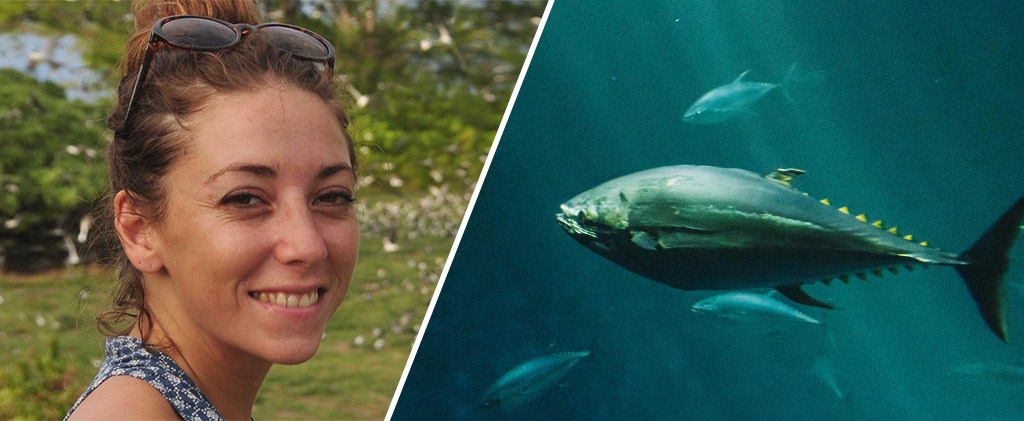
The work of Anaïs Medieu on the temporal monitoring of mercury concentrations in tuna has recently been the subject of numerous articles in the national and international press:

As not all of these publications are open access, here is a summary of Anaïs’s results.

The stability of mercury concentrations in tuna since 1971 reflects the inertia of the oceans and calls for massive reductions in emissions to achieve the objectives of the Minamata Convention.

Humans are exposed to toxic methylmercury mainly by consuming marine fish that bioaccumulate methylmercury in the oceans. The Minamata Convention on Mercury of the UN aims to reduce human exposure to mercury through the reduction of anthropogenic emissions. But has this reduction effort led to a reduction in methylmercury concentrations in the oceans and marine fish? An international team of researchers, coordinated by IRD, addressed this question by compiling nearly 3000 mercury measurements in tuna samples captured between 1971 and 2022 in the Pacific, Indian and Atlantic Oceans.

The study reveals that mercury concentrations in tuna have remained globally stable since 1971, except in the northwest Pacific where they significantly increased at the end of the 1990s, probably in connection with the massive increase in anthropogenic emissions associated with the intensive use of fossil fuels for electricity production in Asia. Elsewhere, the stability of mercury levels in tuna does not reflect the global decrease in mercury levels in the atmosphere resulting from emission reduction policies. The researchers attribute this stability in tuna to the inertia of the oceans and the stock of mercury historically emitted that continues to feed the surface or subsurface waters where tuna live. This mercury was emitted decades, if not centuries ago, and does not yet reflect the effects of emission reductions in the atmosphere.

The researchers also simulated the impact of different emission reduction policies on mercury levels in the oceans. Even the strictest emission policy would take 10 to 25 years to initiate a decrease in mercury concentrations in the oceans. These results highlight the need for a global effort to achieve the objectives of the Minamata Convention to reduce emissions and call for continued and long-term global monitoring of mercury levels in marine life.

 

Hydrothermal mercury: the natural history of a contaminant

,

Our colleague Hélène Planquette participated in an international study coordinated by the CNRS aiming to estimate the contribution of hydrothermal sources to the mercury stock present in the oceans.

This study has just been published in the journal Nature Geoscience and is the subject of a CNRS press release:

An international team of researchers, coordinated by the CNRS (see inset), has established the first global estimate of hydrothermal mercury (Hg) emissions from mid-ocean ridges. The UN Minamata Convention on Mercury aims to reduce human exposure to toxic mercury by reducing anthropogenic emissions. We are primarily exposed through the consumption of fish that bioaccumulate Hg from the ocean. The current paradigm is that anthropogenic mercury emissions (currently 3,100 tons per year) are responsible for a 21% increase in the global oceanic mercury reservoir. This estimate is inaccurate because we do not know how much natural mercury was present in the ocean before the start of anthropogenic emissions.

We are also unable to quantify the impact of anthropogenic emissions on Hg levels in fish. Hydrothermalism is the only direct source of natural Hg to the ocean. Previous studies, based solely on hydrothermal fluid measurements, suggested that hydrothermal Hg inputs could range from 20 to 2,000 tons per year. This new study used measurements of hydrothermal plumes, seawater, and rock cores in addition to fluid measurements from the Trans-Atlantic Geotraverse (TAG) hydrothermal source on the Mid-Atlantic Ridge.

The combination of observations suggests that the majority of enriched Hg in the fluids would be diluted in seawater, and a small fraction would precipitate locally. Extrapolation of the results indicates that the overall hydrothermal Hg flux from mid-ocean ridges is low (1.5 to 65 tons per year) compared to anthropogenic Hg emissions. Although this suggests that the majority of Hg in the ocean is of anthropogenic origin, it also raises hope that strict implementation of emission reductions under the Minamata Convention will reduce mercury levels in fish and human exposure.


Article Reference:

Torres-Rodriguez, N., Yuan, J., Petersen, S. et al. Mercury fluxes from hydrothermal venting at mid-ocean ridges constrained by measurements. Nat. Geosci. (2023).

The Warmalis 3 oceanographic campaign!

,

Oceanographic Campaign Warmalis 3: Understanding the Functioning of the Pelagic Oceanic Ecosystem and Ultimately Determining its Influence on Tuna Resources in the Western and Central Pacific Region

The WARMALIS 3 campaign, taking place from September 25 to November 8 aboard the R/V ANTEA, aims to better understand the functioning of the pelagic oceanic ecosystem and determine its influence on tuna resources in the western and central Pacific region, which account for more than 50% of global catches. In particular, the campaign studies intermediate trophic levels (zooplankton and micronecton), which constitute the primary food for all large pelagic species in the Pacific. To achieve this, biological data (micronecton trawls, zooplankton nets, EK80 sonars, and acoustic profilers), as well as physical and chemical data, are collected.


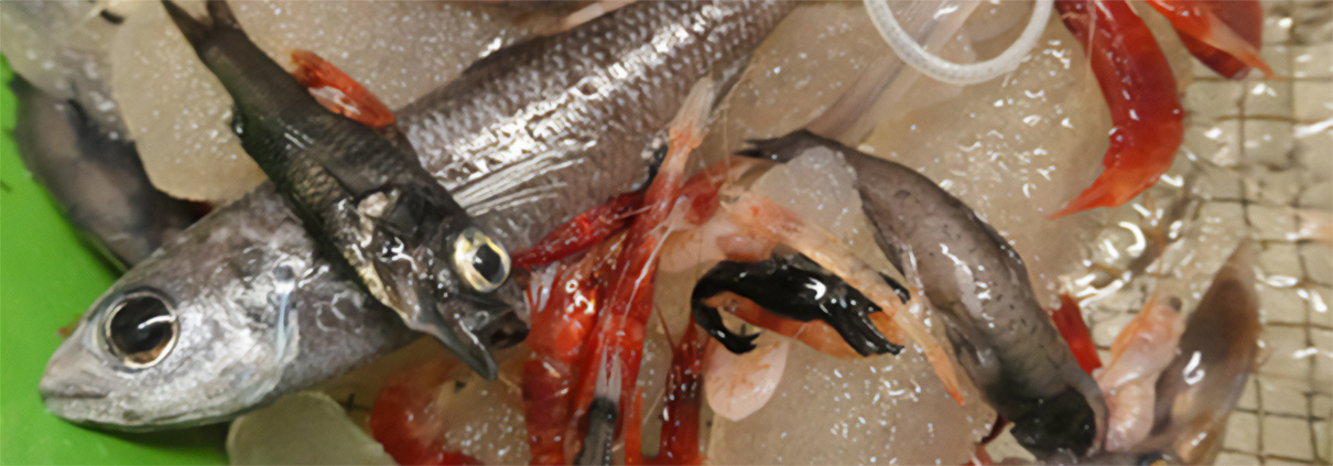
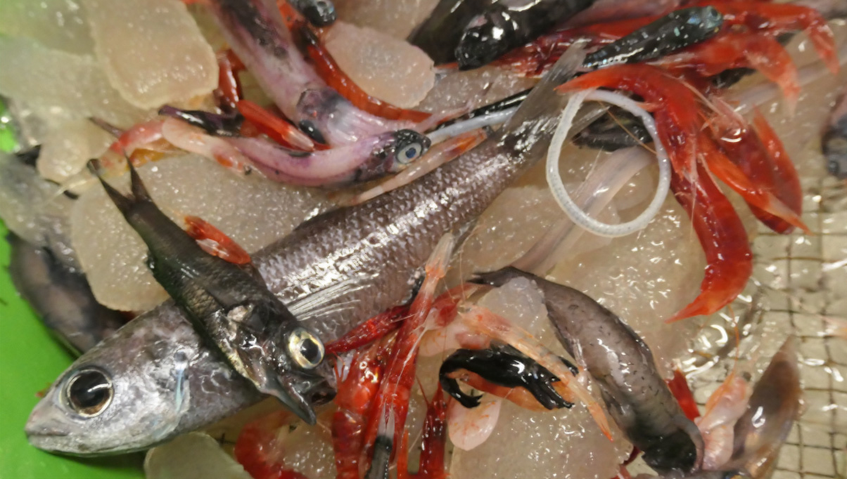
Example of micronecton capture, with gelatinous organisms, small fish, and shrimp commonly consumed by tuna and other top predators (Photo: V. Allain, SPC-IRD).


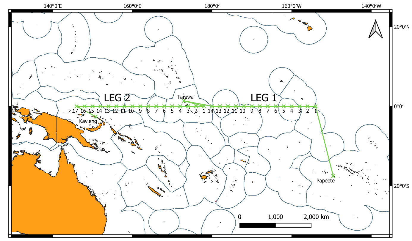
WARMALIS 3 is the last in a series of three campaigns (2021, 2022, 2023) part of the MICROPAC project (Micronecton in the Pacific, 2021-2023) led by Christophe Menkès (IRD/UMR ENTROPIE) and Valérie Allain (CPS) with partner units: MIO, IMAGO, LEMAR, LOPS, LEGOS, and CLS. After exploring the western and central Pacific from south to north in previous years, the crew is undertaking a 45-day east-to-west traverse along the equator this year.
Four colleagues from LEMAR are on board: Laure Barbin, Jérémie Habasque, Anne Lebourges, and Anaïs Médieu.


Campaign plan for Warmalis 3.


You can follow the ship’s log on the mission blog.

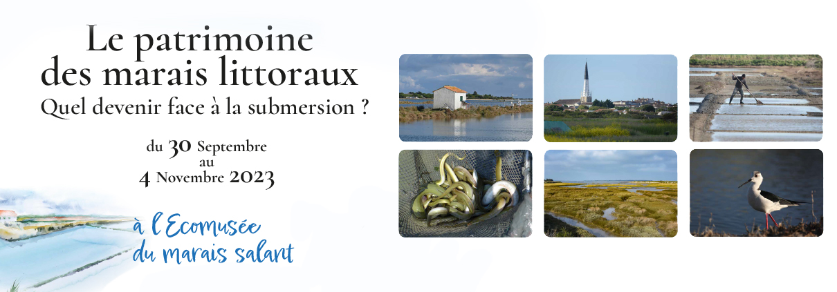
PAMPAS project exhibition: Coastal marsh heritage

, ,

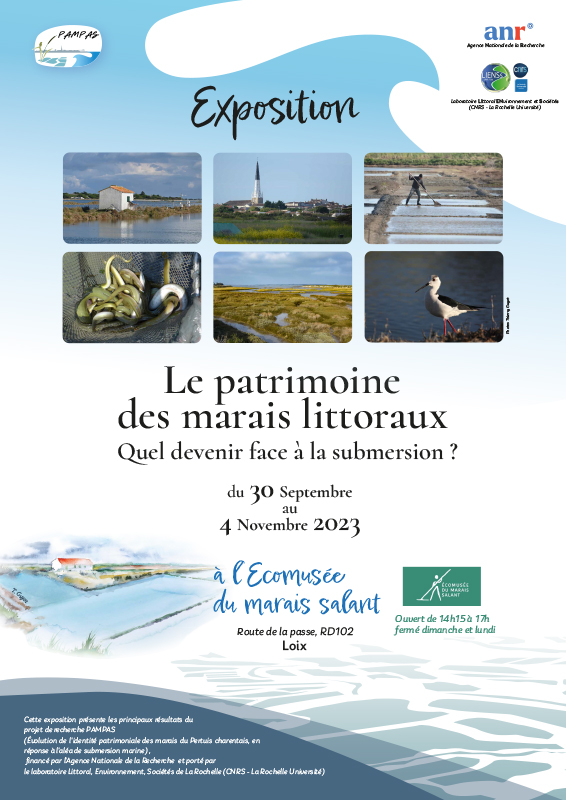
The PAMPAS project – Évolution de l’identité PAtrimoniale des Marais des Pertuis charentais en réponse à l’Aléa de Submersion marine, 2019-2023 – is a collaborative research project funded by the French National Research Agency (ANR) and led by the Littoral Environnement et Sociétés de La Rochelle laboratory (LIENSs, CNRS – La Rochelle University). It aims to understand the future of coastal wetlands, focusing on the evolution of the heritage identity of the marshes of the Pertuis Charentais in response to flooding over half a century.
The marshes of Charente-Maritime: a unique study area presenting:

  • A strong heritage identity – landscape, biodiversity, architectural heritage
  • Vulnerability to submersions,
  • Contrasted management methods and a concentration of numerous economic activities – agriculture, shellfish farming, tourism … whose sustainability can be questioned.

In a context of increasing populations and activities in coastal areas, the preservation and maintenance of these socio-ecosystems are essential to safeguard the quality and functions of these constrained environments. The project has expanded the concept of heritage identity to include the ecological and environmental functions of marshes, such as:

  • Their adaptation to the overall rise in sea level through sedimentation,
  • Their role as a buffer against marine submersions limiting the rise in sea level in adjacent areas,
  • Their role in water filtration, nutrient recycling, carbon sequestration, habitat provision, and nursery functions for numerous species.

This project chose to go beyond traditional approaches to the assessment of conservation ecology, economics, and cultural heritage management, all considered insufficient to comprehend heritage as the entirety of components contributing to the collective identity of a marsh.

PAMPAS has:

  • Adopted an interdisciplinary approach applied to three study areas (the marshes of Brouage, Fier d’Ars, and Tasdon), contrasting in terms of natural, cultural, and landscape heritage, as well as management practices: in debate between laissez-faire and embankment, heavily embanked, and reconnected to the sea, respectively.
  • Built a collective approach and participatory engineering, crossing expertise in Humanities and Social Sciences, Life and Earth Sciences, and involving marsh managers, with 48 people from 13 research units and 9 disciplines.

The 3 major objectives of PAMPAS are to:

  • Characterize the natural, cultural, and landscape functions of the marshes and spatially represent these different components of heritage identity;
  • Represent the socio-ecosystem of marshes in terms of functionality, services, resilience, or adaptability to hazards;
  • Define scenarios for the evolution of the heritage identity of the three study sites facing submersion hazards and assess their adaptive potential. These results will be discussed through an interactive mapping tool.

In conclusion, based on a revised definition of heritage identity adapted to marsh areas, PAMPAS provides a new vision for sustainable marsh management by transmitting economic, cultural, and ecological knowledge. The challenges and issues of this project thus far exceed the local level and concern wetlands globally, for which it is now necessary to reconsider analysis and management frameworks, integrating heritage in its various socio-ecosystemic dimensions.

This heritage is not always visible or recognized as such by the entire population. Therefore, this exhibition aims to reveal to the general public not only the results of a research project but also the objects (animals, plants, structures, landscapes, activities, etc.) that could be recognized as full-fledged heritage in the marshes. Showing the invisible, less easily perceived objects, and highlighting the ecological functions of the marshes is the objective of this exhibition.

The exhibition will be visible from September 30 to November 4 at the Ecomuseum of Loix en Ré (Ile de Ré)

A look back at the DRASTIC low-carbon oceanographic cruise

, ,

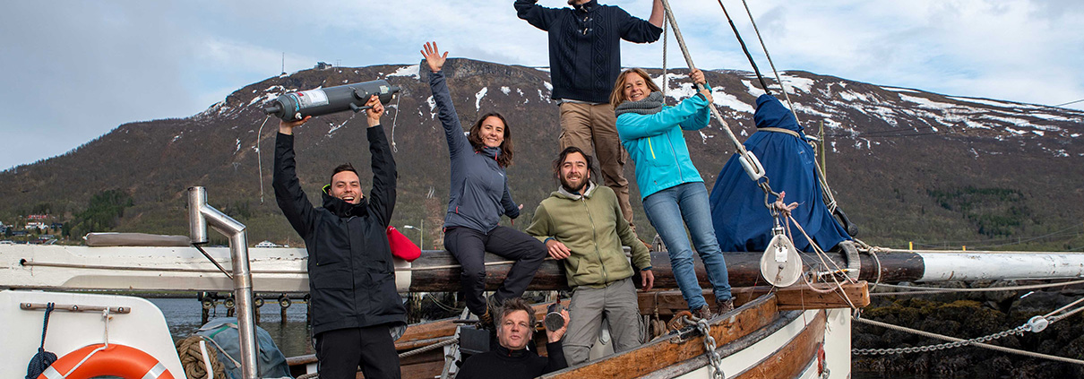
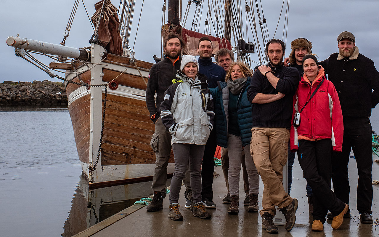
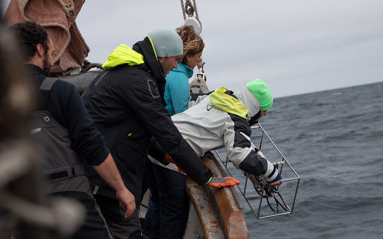
A “low-carbon” oceanographic cruise aboard an old sailing ship off the coast of Norway.

At the Arctic Circle, where the waters of the North Atlantic and the Arctic meet, LEMAR scientists from the European Institute for the Sea in Brest (IUEM) are studying silicon, an essential nutrient for marine micro-organisms such as diatoms and radiolarians. The latter are at the base of the marine food chain. They also play a key role in producing the oxygen we breathe and in sequestering atmospheric carbon.

The project aims to gain a better understanding of marine environmental changes at high latitudes and their consequences for the fate of planktonic siliceous organisms.

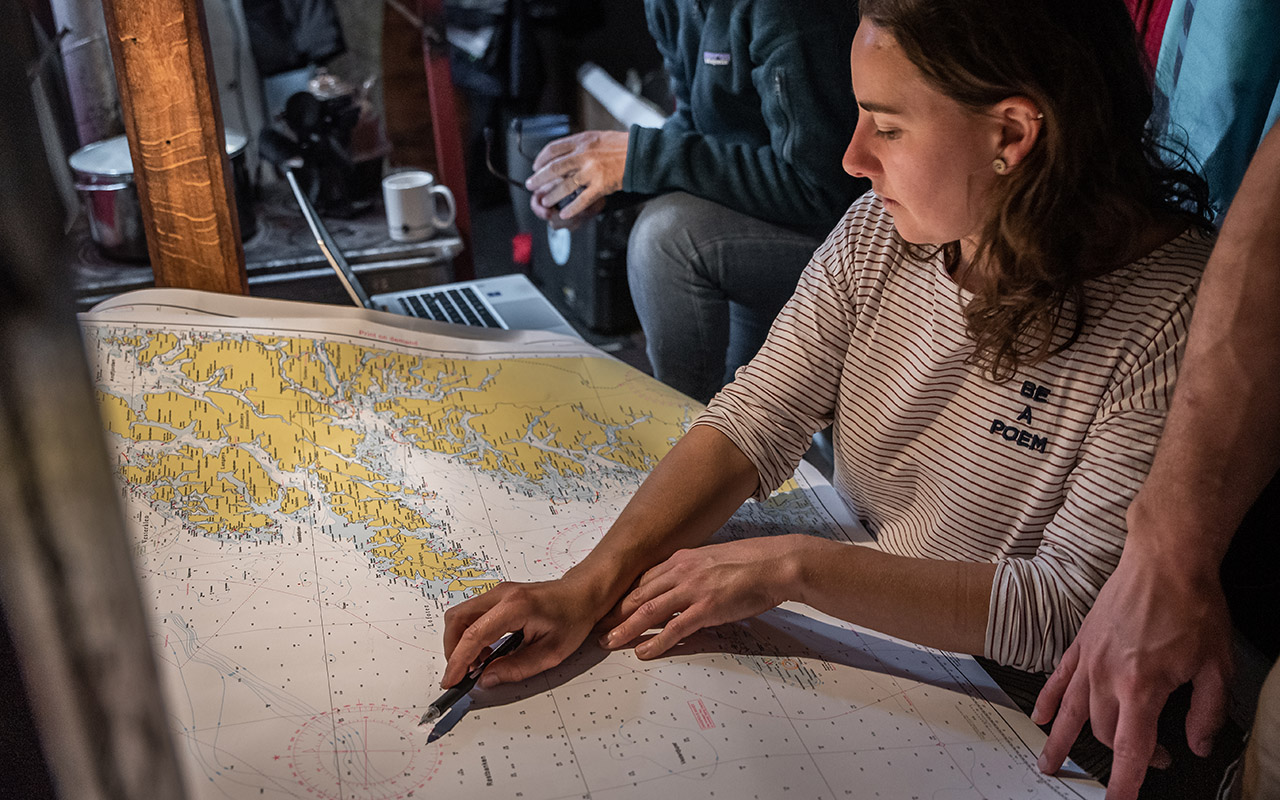
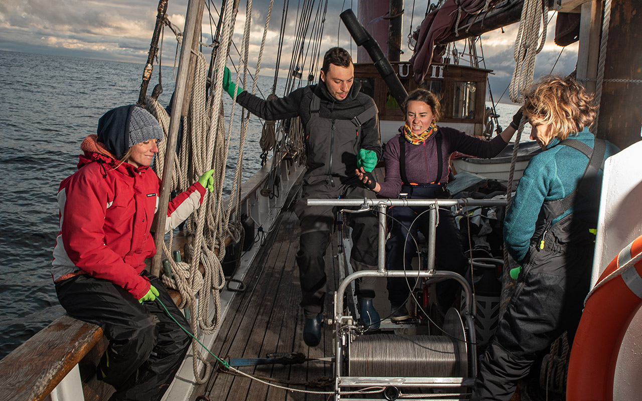
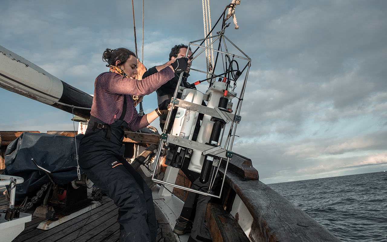
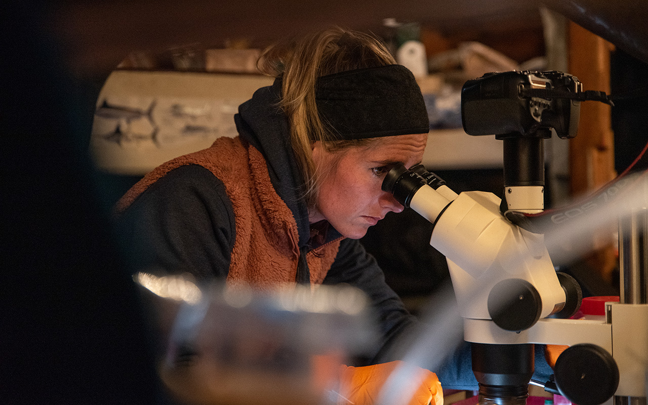
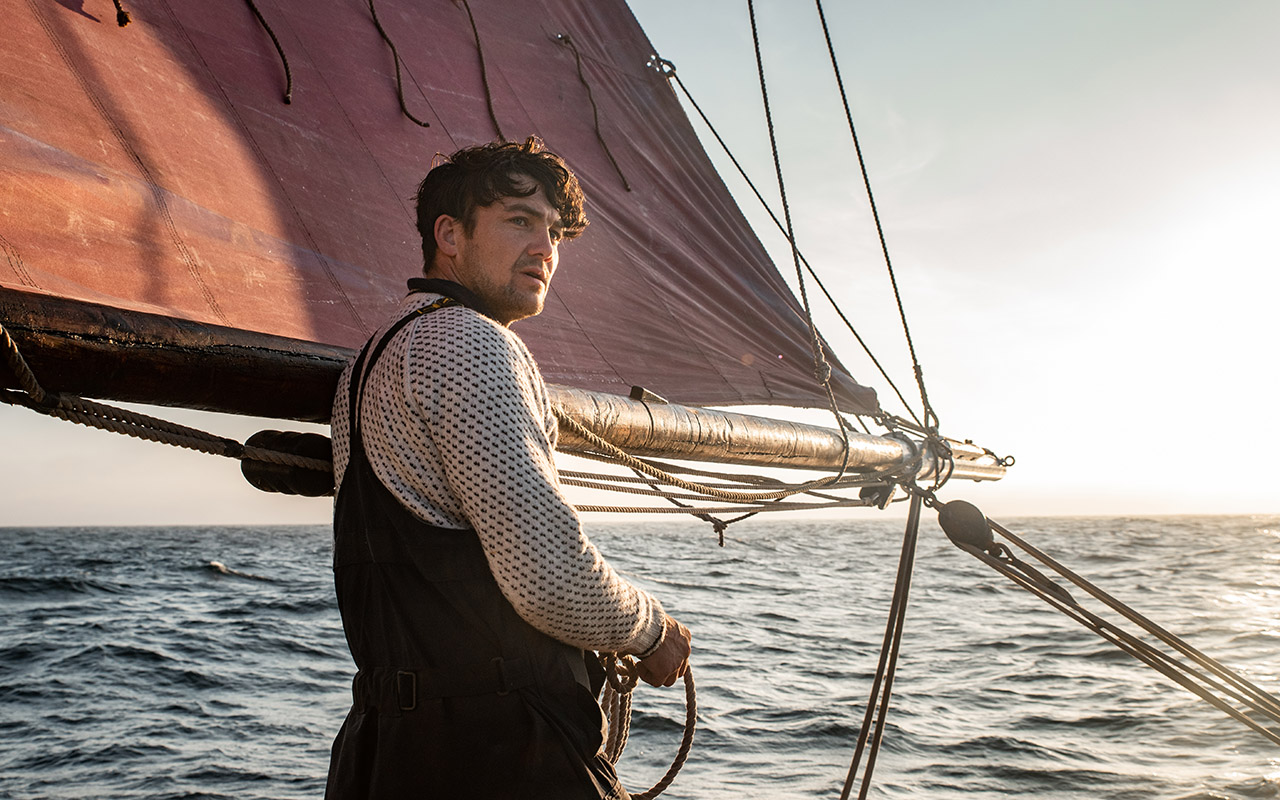
Scientists were the first to warn of climate change and now want to show the way to mitigate and reduce carbon emissions. The research was therefore carried out from a sailing boat. The boat’s equipment was also carbon-free: the main winch used to send the scientific equipment to a depth of 1,000 metres was powered solely by human energy, with the scientists transformed into cyclists! This low-tech ‘velotreuil’ proved its effectiveness and gave the scientists a chance to do a bit of sport. Compared with conventional oceanographic vessels, the campaign’s carbon footprint was reduced by 70 tonnes of CO2 (the annual emissions of 11 Norwegians).As the cost of the campaign was also lower, this means that the reduction in carbon emissions saved money. Indeed, the cost of CO2 abatement for the mission is estimated at around €1,000 per tonne. The 20-metre sailing boat was the LUN II, a superb wooden vessel built in Norway (around Alesund) in 1914. It is mainly used as a sailing cargo ship, under the direction of its captain Ulysse Buquen, and has been used to set up laboratories for water filtration and microscopic observations.

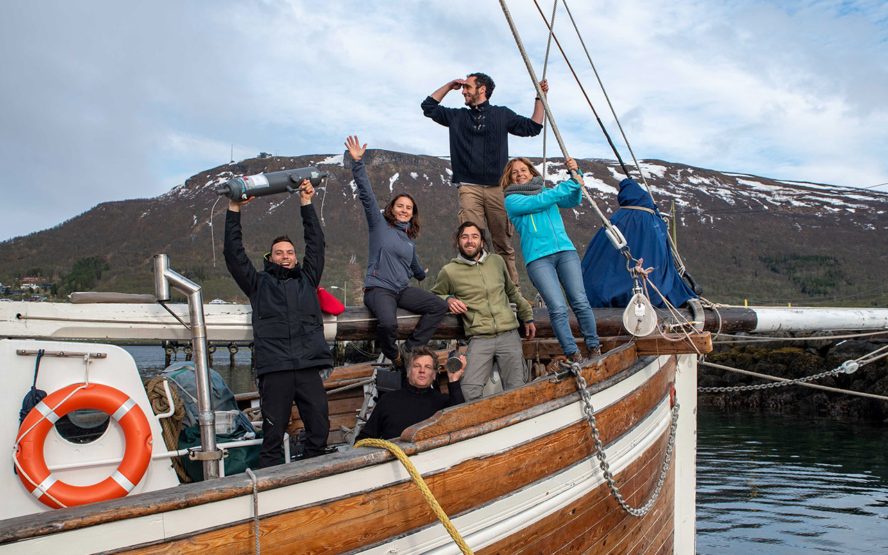
The scientific team was intergenerational (ranging from 29 to 58 years old), international (with researchers from Brest, British, and American universities), gender-balanced, and led by women. It consisted of 9 individuals, including several current or former members of LEMAR (links to their profiles): Aude Leynaert, Lucie Cassarino, Matthieu Civel-Mazens, Natalia Llopis-Monferrer, Nicolas Djeghri, Jean Luc Baradat, Oscar Chuberre (photographer), Ulysse Buquen (the captain), and Magnus Brask Nordfonn (sailor).

During their journey, they gave lectures at the universities of Tromsøe, Bodø, and Bergen, and met with Norwegian scientists to promote future collaboration and student exchanges.

The expedition was primarily funded by the French public sector, including the École Universitaire de Recherche Isblue, the ANR (Agence Nationale pour la Recherche), the CNRS, the Brittany region, and the LEMAR laboratory of the IUEM.