


During this secondment, the work consisted in interacting with the colleagues from the University Federal Rural de Pernambuco (UFRPE) and the University Federal Rural de Pernambuco (UFRPE) to develop an integrated approach to obtain key ecosystem information for Marine Spatial Planning. In particular, small scale-fisheries historical databases, coming from different sources and in different formats, were standardized all along the coast of Pernambouco.
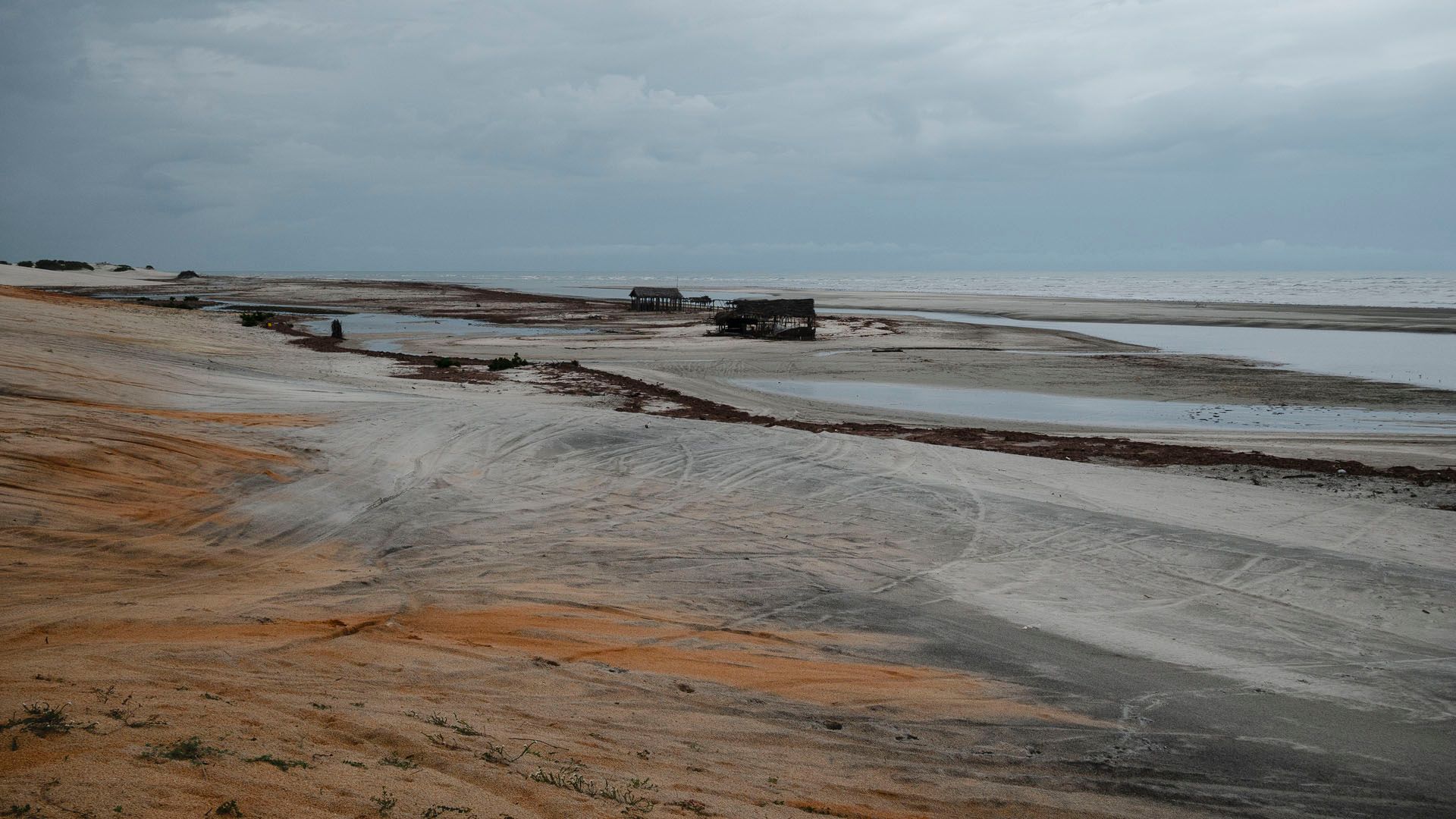
Another activity consisted in developing a methodology for compensating gaps of official data on fishing effort of small scale fisheries and human activities based on the automatic analysis of Google Earth images.