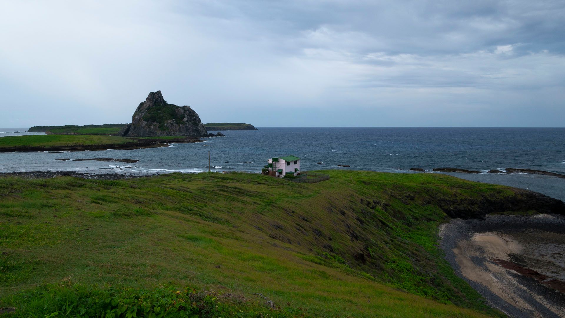


Fernando de Noronha offshore archipelago (under the authority of the Pernambuco state) is providing a nice reduced model for studying the challenges of MSP deployment in Brazil. The archipelago is a natural biodiversity hotspot (hosting among other the nesting of >10 species of Atlantic seabirds) what converted it into a Brazilian showcase for conservation policy, a mecca for tourism, it sustains a local artisanal pelagic fishery and is submitted to the overlay of federal, state and local legislations. Conflicts for space use between the national marine park, fishing activity, diving and other forms of nautical activities are intense. Few spatially-explicit data on space-uses were available on this exemplary case so we set up several recurrent actions for integrating scientific knowledge on this natural MSP laboratory.
In particular, we organized a first fieldwork (in september) for data acquisition on space use by artisanal fishing vessels and breeding seabirds (boobies species). We established collaborations and student co-supervision with Brazilian colleagues collecting information on other species in the same archipelago (UFAL, Leila Figueiredo and Marcio Efe, Phaeton seabird species; FURG, Guilherme Tavares and Leandro Bugoni). We also began a long term work on the statistical modeling of these data, aiming at segmenting the GPS tracks collected on fishing vessels and seabirds into different behavioural modes (travelling, searching, fishing). This modeling work is essential in order to produce accurate maps of fishing grounds and foraging areas of seabirds for instance.