Series of geomorphological observations
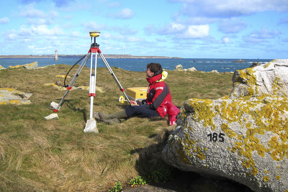
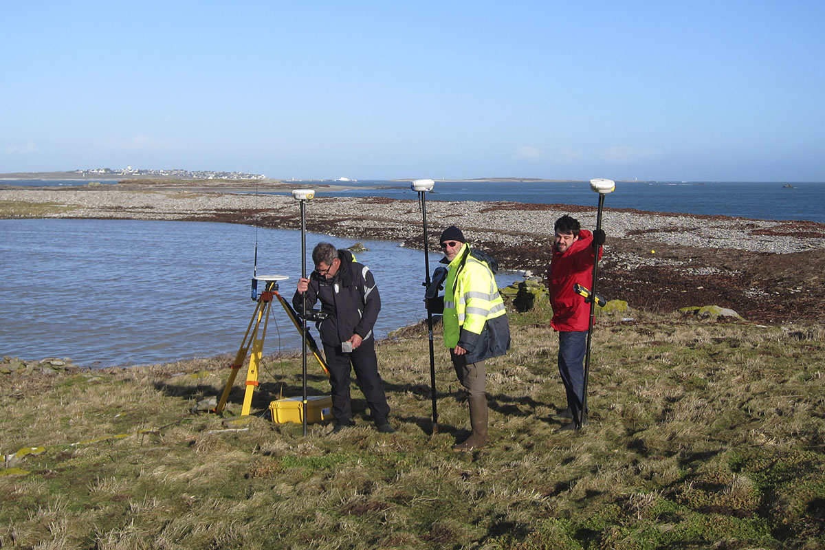
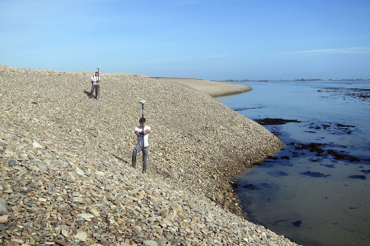
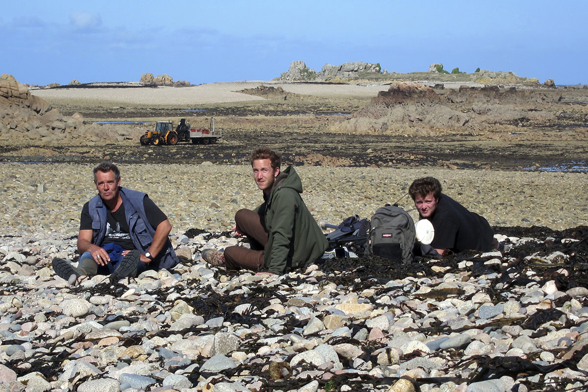
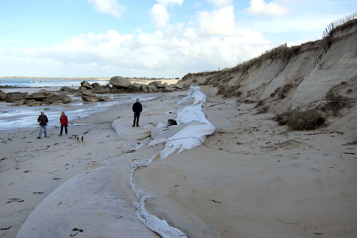
Geomorphological monitoring of loose coastal formations (sandy beaches and pebbled beaches) was launched in 2002 by the LETG UMR 6554 CNRS laboratory as part of the IUEM coastal domain observatory (ODC). Initially centred on four beaches in the Iroise Sea (Trégana, Porsmilin, Corsen and Blancs-Sablons), it was extended over time to other sites in Finistère (including the Molène archipelago) and Côtes d’Armor, notably by integrating monitoring of cliff coasts. Similarly, this observatory has been enriched by observations made in the context of doctoral research, labelled scientific actions (Natura 2000, Nature Reserve, PAPI, etc.), scientific expertise, or monitoring carried out by land managers and/or local authorities (EPCI-type intercommunal bodies, etc.). With the accreditation of the ZABrI in 2012 and the SNO DYNALIT in 2014, some of these monitoring activities have been integrated and/or transferred to these systems. These geomorphological observations are also integrated into the observatory of coastal vulnerability in Brittany (OSIRISC), one of the components of which concerns the quantification of the erosion hazard.
Partners
The sites monitored
Monitoring
The objective of this geomorphological observatory is :
- to decipher the signal of changing weather and sea conditions through coastal morphosedimentary dynamics;
- to provide information, particularly on coastal erosion, in order to support management and development policies for the coastal zone.
The parameters measured correspond to :
- beach profiles,
- the position of the coastline,
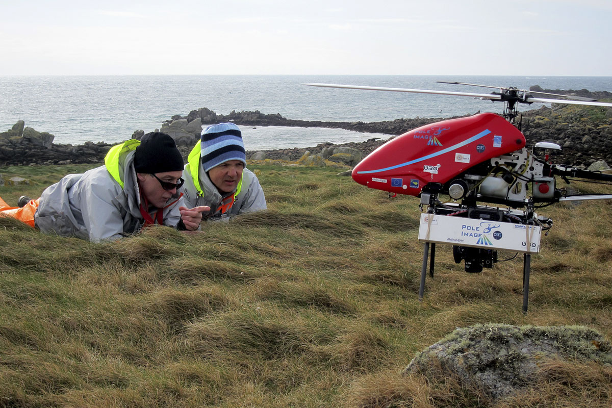
- surface surveys (DTM, bathymetry),
- hydrodynamic conditions (swell, currents, water levels).


